


KC WD24 PCT2424, Jackson County, Missouri
About
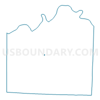
Outline

Summary
| Unique Area Identifier | 608303 |
| Name | KC WD24 PCT2424 |
| County | Jackson County |
| State | Missouri |
| Area (square miles) | 0.04 |
| Land Area (square miles) | 0.04 |
| Water Area (square miles) | 0.00 |
| % of Land Area | 91.87 |
| % of Water Area | 8.13 |
| Latitude of the Internal Point | 39.01450600 |
| Longtitude of the Internal Point | -94.39020550 |
Maps


Graphs
Select a template below for downloading or customizing gragh for KC WD24 PCT2424, Jackson County, Missouri


Neighbors
Neighoring Voting District (by Name) Neighboring Voting District on the Map
- KC WD24 PCT2404, Jackson County, MO
- KC WD24 PCT2406, Jackson County, MO
- KC WD24 PCT2407, Jackson County, MO
- KC WD24 PCT2423, Jackson County, MO
- KC WD24 PCT2427, Jackson County, MO
Top 10 Neighboring County Subdivision (by Population) Neighboring County Subdivision on the Map
Top 10 Neighboring Place (by Population) Neighboring Place on the Map
Top 10 Neighboring Unified School District (by Population) Neighboring Unified School District on the Map
- Lee's Summit R-7 School District, MO (91,982)
- Blue Springs R-IV School District, MO (76,331)
- Raytown C-2 School District, MO (58,838)